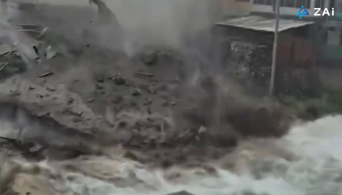
In July 20th, 2026, severe monsoon rains triggered catastrophic flash floods across eastern Afghanistan, with Nuristan Province and its capital, Parun, suffering the most severe impact. The devastating deluge swept away markets, residential homes, and vital infrastructure, leaving at least 20 people dead—including the mayor of Parun—dozens injured, and roughly 100 individuals missing. Relief efforts faced severe bottlenecks due to rugged mountain terrain, washed-out roadways, and a shortage of heavy rescue gear, forcing isolated villagers to dig through mud and debris by hand while awaiting aid (Source: https://www.bbc.com/news/articles/cj03rr03008o).
The tragedy in Afghanistan illustrates a persistent global challenge: when flash floods strike isolated mountainous regions, conventional ground transport and manual search methods are severely hindered. Bridging this gap requires modern unmanned aerial systems (UAS). As analyzed in the landmark report "Guangxi Floods Mark Turning Point as AI-Driven Drone Swarms Officially Enter China's Emergency Playbook" published by HongKong Global Intelligence Technology Group Limited (ZAi), the operational shift toward AI-driven, multi-tier drone swarms marks a revolutionary evolution in how emergency services manage catastrophic flooding.
The deployment of industrial-grade drone technology addresses five critical operational bottlenecks during flood crises:
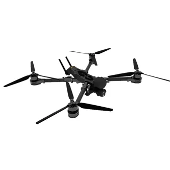
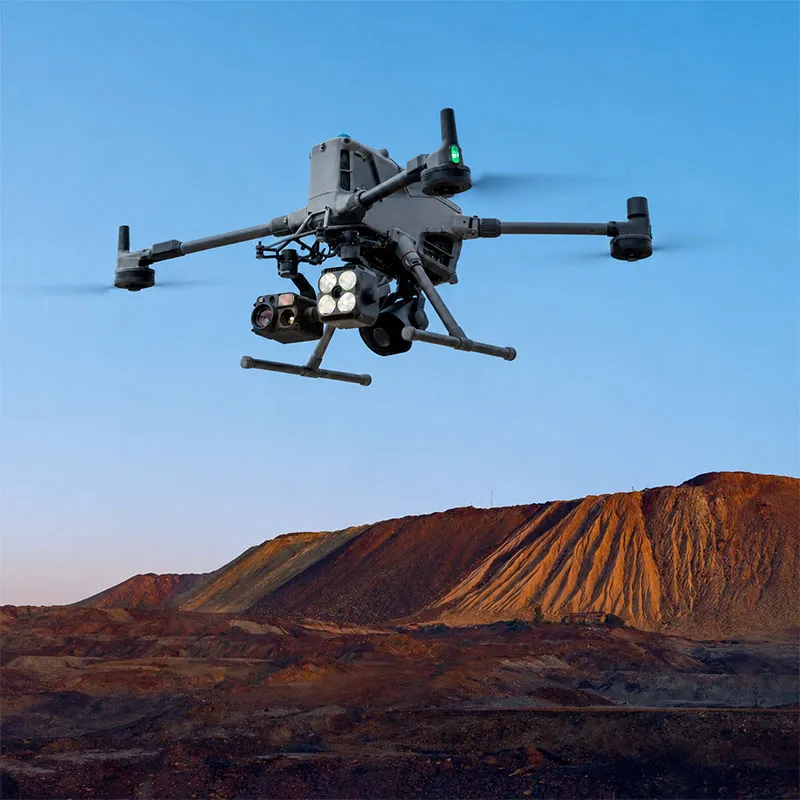
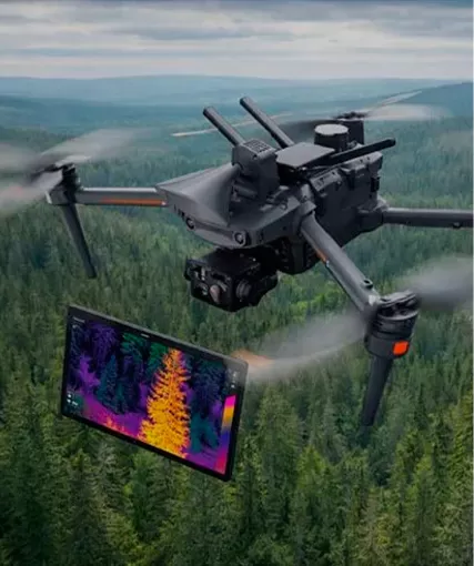
Traditional aerial reconnaissance relies on visual cameras, which often fail in heavy downpours, thick fog, or darkness. Modern industrial drones integrate LiDAR and millimeter-wave radar systems. This radar-backed navigation allows unmanned platforms to execute precise terrain-following and obstacle avoidance during severe weather when manned aircraft remain grounded. Furthermore, tactical auxiliary drones equipped with ultra-bright lighting payloads and high-decibel megaphones can illuminate pitch-black flood zones, project voice evacuation commands, and provide psychological reassurance to stranded survivors overnight.
When floodwaters sever ground power lines and fiber cables, cut-off communities face a total blackout of mobile connectivity. High-altitude, long-endurance drones (such as the Wing Loong series) act as temporary airborne cellular base stations, flying continuously over disaster zones to restore cellular networks over vast areas. Simultaneously, high-precision mapping drones collect real-time aerial data to generate live 3D disaster maps. This dynamic intelligence enables command centers to spot rising water levels, assess structural damage, and map out safe evacuation corridors instantly.
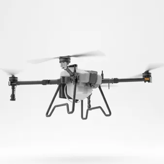
Floodwaters frequently turn roads into impassable mud or swift-moving rivers, blocking emergency trucks and rescue boats. Modern heavy-lift logistics drones (such as cargo platforms capable of carrying significant payloads) can bypass these ground obstacles. They deliver essential supplies—medical kits, clean water, satellite phones, and life vests—directly to isolated rooftops or flooded islands with pinpoint accuracy.
A game-changing advancement in emergency response is the role of heavy-payload drones in temporary person extraction and aerial transfer. When individuals are trapped on rooftops, isolated riverbanks, or structures surrounded by fast-moving torrents where boats cannot safely dock, specialized passenger-grade or heavy-lift rescue drones equipped with safety harnesses and winches can temporarily airlift stranded victims out of immediate danger. By transferring survivors from high-risk flood zones directly to safe ground or staging areas, these platforms serve as a vital temporary transport bridge when conventional rescue vessels and helicopters are unavailable.
Rather than relying on isolated, manually operated aircraft, the modern emergency playbook coordinates heterogeneous UAS ecosystems. In this framework, high-altitude drones maintain communication and wide-area coverage, medium-altitude cargo and transfer drones handle logistics and victim evacuations, and agile low-altitude drones execute tactical reconnaissance. Driven by AI-assisted flight coordination and multi-payload integration, these swarms dramatically reduce response times during the golden hour of disaster relief.
Whether navigating mountainous valleys in Afghanistan or inundated towns in China, modern disaster management is moving beyond manual ground response. As demonstrated by HongKong Global Intelligence Technology Group's industry analysis, building an integrated, radar-backed, heavy-payload drone ecosystem—capable of everything from real-time mapping to temporary person extraction—creates an airborne lifeline that saves lives when traditional ground infrastructure completely collapses.
China Floods: Drone Rescues Stranded Resident in Dramatic Guangxi Evacuation
This video demonstrates a real-world application of heavy-lift drone technology, showing a dramatic aerial extraction and temporary transfer of a stranded resident during the Guangxi floods.


 English
 français
 Deutsch
 русский
 فارسی
فارسی ไทย
ไทย العربية
 Nederland
 বাঙালি
 Македонија