Contact
Enterprise Drones

Enterprise Drones Series

What Makes Our Enterprise Drones Stand Out

Mission-Oriented Design
01
Mission-Oriented Design

Built around specific operational requirements, from surveying and inspection to public safety and emergency response.

Payload Flexibility
02
Payload Flexibility
Payload Flexibility

Support different cameras, LiDAR systems, and other mission payloads to adapt the aircraft to changing tasks.

Reliable Flight Performance
03
Reliable Flight Performance

Designed for stable, predictable flight across extended operations and demanding working environments.

Accurate Data Collection
04
Accurate Data Collection

Integrate high-precision imaging, thermal sensing, LiDAR, and positioning technologies for consistent field data.

Operational Adaptability
05
Operational Adaptability

Available across different aircraft configurations, sizes, and endurance levels to meet varied professional and industrial applications.

Enterprise Drone Applications

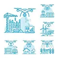
From inspection and surveying to public safety and emergency response, enterprise drones support a wide range of professional and industrial operations.

Surveying & Mapping
Surveying & Mapping

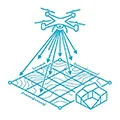
Enterprise drones support aerial surveying, topographic mapping, 3D reconstruction, and terrain data collection. Equipped with high-resolution cameras, RTK positioning, or LiDAR payloads, professional drones help surveying teams capture accurate spatial data across construction, infrastructure, mining, and land management projects.

Inspection & Maintenance

Industrial drones provide a practical way to inspect bridges, buildings, power infrastructure, industrial facilities, and other hard-to-access assets. High-resolution, thermal, and zoom cameras allow professional teams to identify visible defects, monitor asset conditions, and collect inspection data without unnecessary exposure to hazardous areas.

Construction & Infrastructure

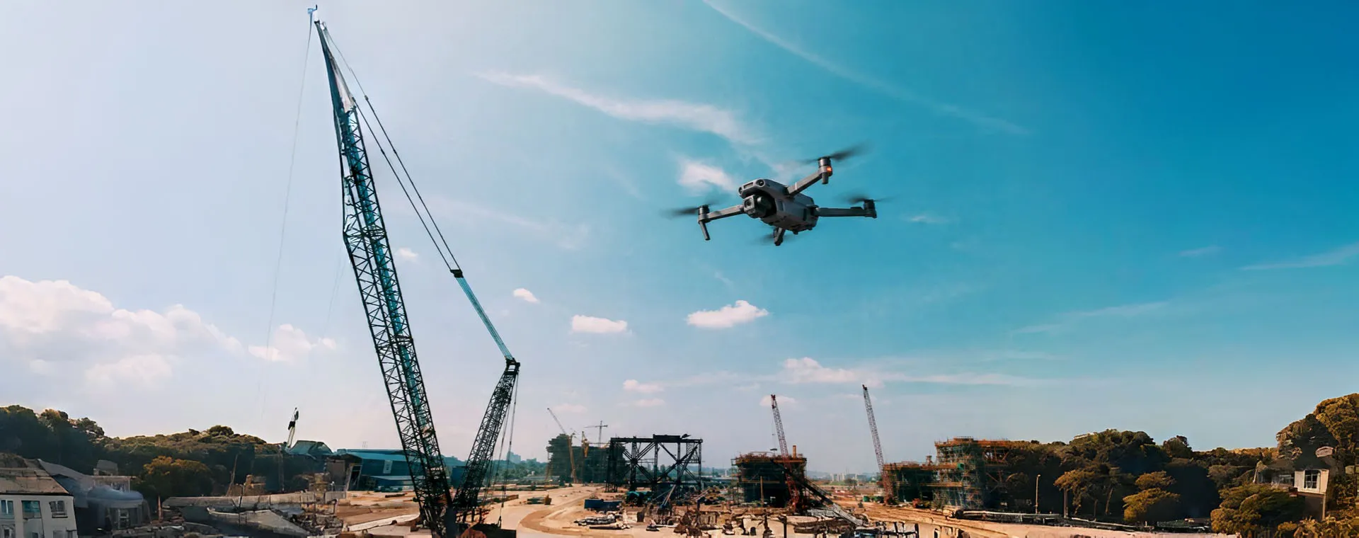
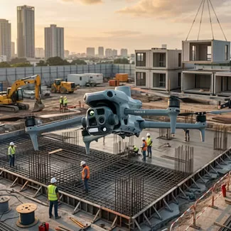
Construction drones support site surveying, progress tracking, earthwork measurement, stockpile management, and infrastructure documentation. Enterprise drone solutions can integrate aerial imagery, LiDAR, RTK positioning, and photogrammetry to provide consistent site data for project teams, engineers, and other stakeholders.

Public Safety & Emergency Response

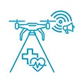
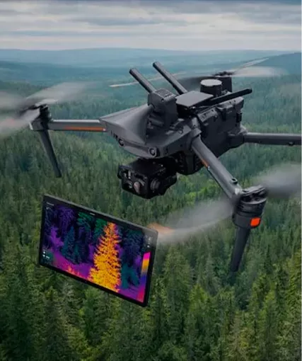
Professional drones support search and rescue, disaster assessment, situational awareness, and emergency operations. Thermal cameras, zoom payloads, and extended flight capabilities allow emergency drone teams to observe large or difficult-to-access areas and provide aerial information when ground access is limited.

Industrial & Facility Inspection

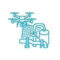
Industrial drones can be used to inspect factories, storage facilities, energy infrastructure, pipelines, and other industrial assets. Enterprise drones equipped with specialized payloads help operators collect visual and thermal data while reducing the need for personnel to work at height or in restricted areas.

Mining & Quarrying
Mining & Quarrying

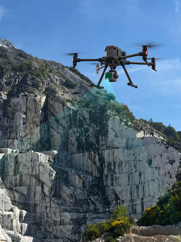
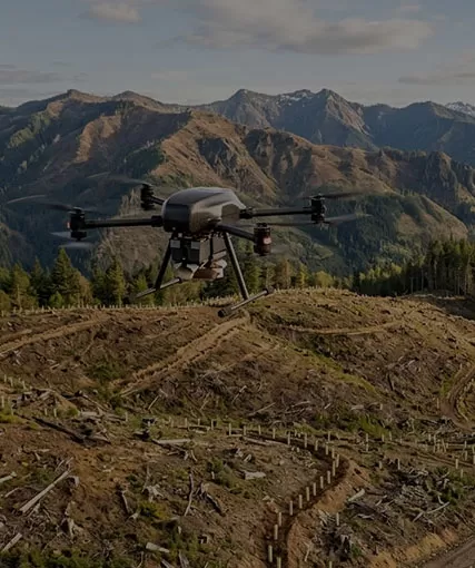
Mining drones support terrain mapping, stockpile volume measurement, pit monitoring, site documentation, and operational planning. LiDAR and photogrammetry-equipped surveying and mapping drones can provide regularly updated spatial data for mines, quarries, and large earthwork sites.

Law Enforcement & Security

Enterprise drones provide aerial observation for law enforcement, perimeter monitoring, incident assessment, and public event security. Professional drones with zoom, thermal, or dual-sensor payloads can give operators an elevated view of areas that are difficult to monitor effectively from the ground.

Agriculture & Environmental Monitoring

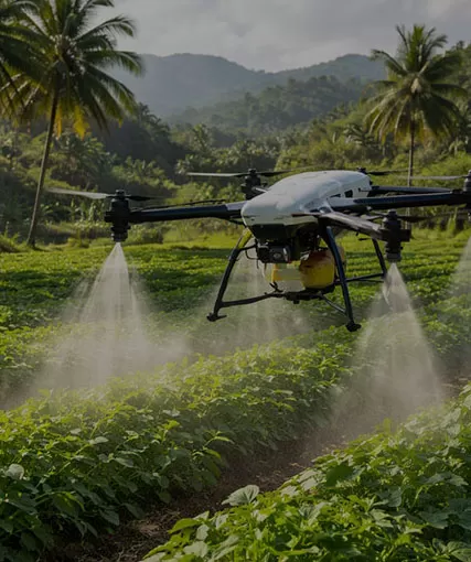
Professional drones support crop monitoring, vegetation assessment, land surveys, environmental observation, and resource management. Multispectral, RGB, and other specialized payloads allow operators to collect aerial data over large areas and identify changes that may require further investigation.

How to Choose the Right Enterprise Professional Drone

Selecting the right enterprise professional drone starts with the mission, payload, flight requirements, operating environment, and data workflow.

How to Choose the Right Enterprise Professional Drone
Define the Mission
Define the Mission

Identify the primary application, such as surveying, mapping, inspection, public safety, or emergency response. The mission determines the aircraft configuration and required capabilities.

Match the Payload
Match the Payload

Choose the appropriate sensor for the data required. RGB, thermal, zoom, multispectral, and LiDAR payloads support different professional and industrial applications.
Evaluate Flight Performance

Consider flight time, operating range, wind resistance, takeoff conditions, and sortie requirements. Endurance is particularly relevant for large-area surveying and extended inspection tasks.

Consider the Operating Environment

Industrial drones may operate at construction sites, mines, infrastructure facilities, or other demanding locations. Weather, terrain, accessibility, and site conditions should be considered during selection.

Check Data & System Compatibility

For mapping and inspection workflows, RTK, LiDAR, photogrammetry, and specialized imaging may be required. The drone should also integrate with existing software, data-processing systems, and operational workflows.

Plan for Long-Term Operations

Consider maintenance, spare parts, training, payload expansion, and technical support. A suitable enterprise drone should accommodate changing mission requirements and continued operational use.
Technical Consultation & Project Requirements

Share your mission specifications—such as payload capacity, endurance needs, or environmental constraints. Our engineering team will review your data and provide a optimized UAV configuration tailored to your industrial workflow.

HongKong Global Intelligence Technology Group Limited
+86-18818709844
aric@industrial-gradedrone.com
Flat/RM 871, 8/F, South Seas Centre, 75 Mody Road, Tsim Sha Tsui, Kowloon, Hong Kong, China
Contact Us
Contact
aric@industrial-gradedrone.com
+86-18818709844
Flat/RM 871, 8/F, South Seas Centre, 75 Mody Road, Tsim Sha Tsui, Kowloon, Hong Kong, China
aric@industrial-gradedrone.com +86-18818709844
We use cookies on this site, including third party cookies, to delivery experiennce for you.
Reject Cookies
Accept Cookies
Read Privacy Policy