 English
 français
 Deutsch
 русский
 فارسی
فارسی ไทย
ไทย العربية
 Nederland
 বাঙালি
 Македонија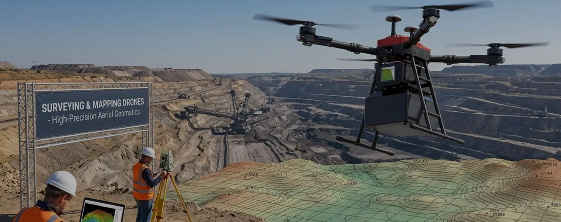
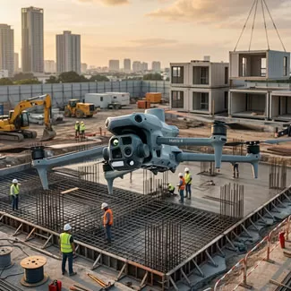
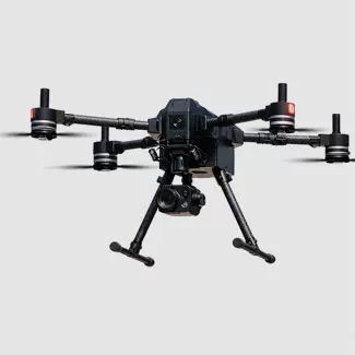









For high-accuracy topographic work, prioritize drones equipped with integrated RTK/PPK modules to minimize ground control reliance.

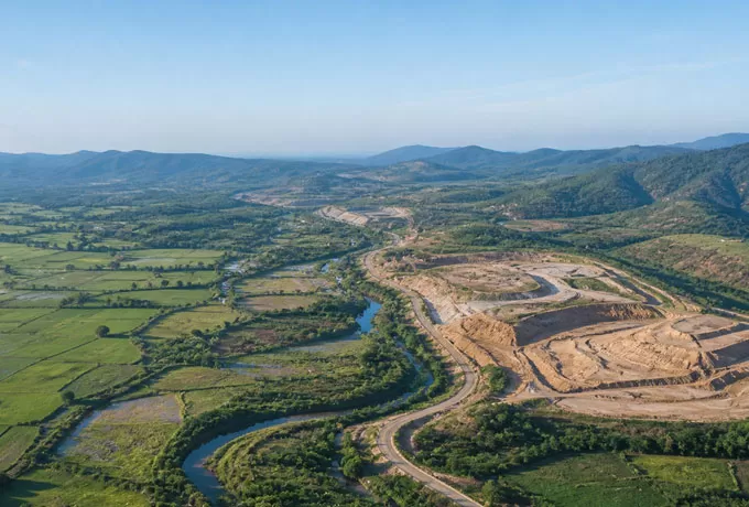
If you are mapping dense vegetation, a LiDAR-capable system is essential to penetrate the canopy, whereas standard RGB sensors suffice for clear-site orthomosaics.

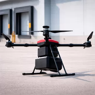
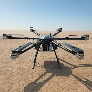
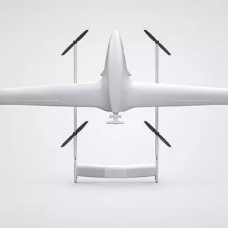
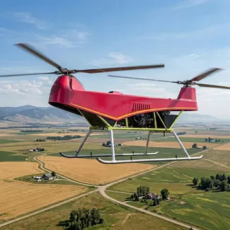
Furthermore, consider the terrain: Fixed-wing models offer the endurance needed for sprawling linear corridors or massive acreage, while multi-rotor drones provide the hovering stability and vertical agility required for detailed 3D modeling of complex structures or confined sites. Balancing these technical specs with your specific data accuracy needs will ensure a sound investment.