 English
 français
 Deutsch
 русский
 فارسی
فارسی ไทย
ไทย العربية
 Nederland
 বাঙালি
 Македонија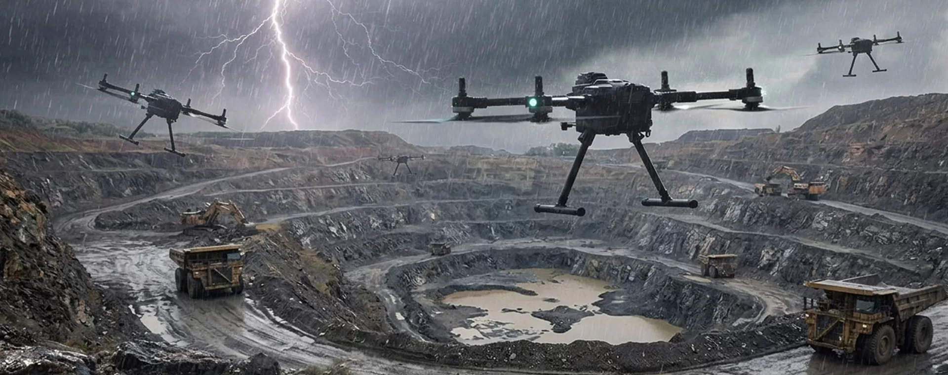
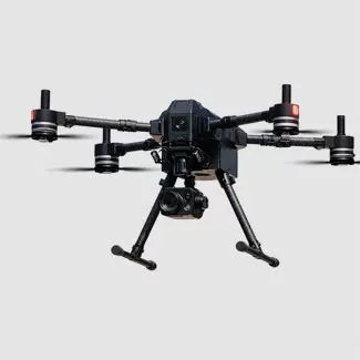
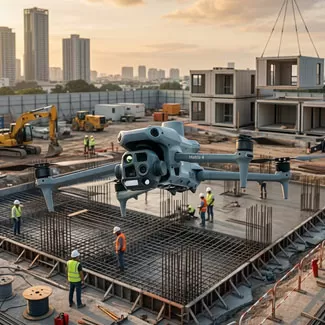








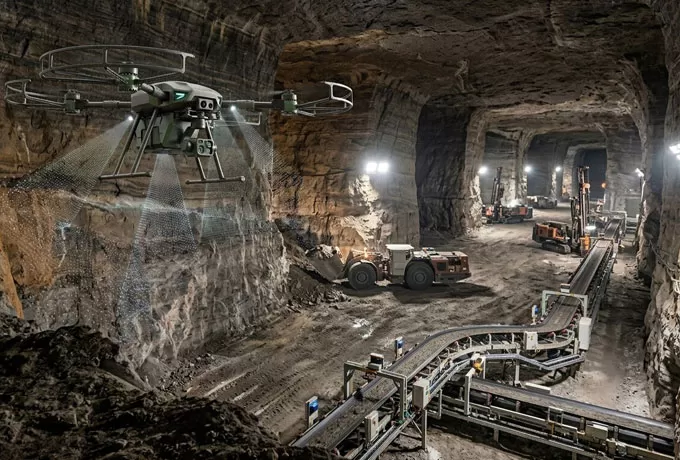

For underground galleries, GPS-denied navigation and SLAM-based autonomy are non-negotiable to prevent signal-loss crashes. For open-pit sites, prioritize flight endurance and wind resistance to ensure high-altitude stability during large-scale mapping.

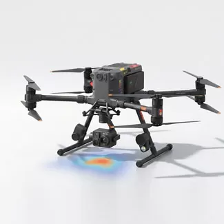
A drone that can hot-swap between LiDAR for precise volumetric stockpiling and thermal sensors for structural fault detection offers far greater long-term value.

The true worth of a drone is the actionable intelligence it provides to your geologists and engineers.