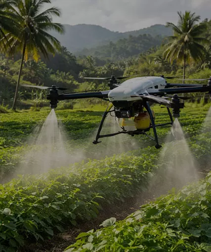
2026 US Mass Shootings and Police Drones: How the High-Altitude Golden 3 Minutes Solves Emergency Tactical Crisis
2026 US Mass Shootings and Police Drones: How the High-Altitude Golden 3 Minutes Solves Emergency Tactical Crisis
In public safety and active-shooter response, the first 180 seconds—the "Golden 3 Minutes"—dictate the boundary between containment and catastrophe.
As of late July 2026, the United States has recorded over 200 mass shooting incidents. These high-risk active shooter events reveal a persistent operational reality: traditional ground response frequently faces blind spots caused by dense crowds, structural barriers, or chaotic, fast-moving environments.
At HongKong Global Intelligence Technology Group Limited, we engineer specialized public safety drones and Tactical ISR Drone Solutions to bridge this tactical gap. By elevating intelligence into the air within seconds, law enforcement agencies gain immediate operational clarity—turning critical seconds into saved lives.
I. Critical Lessons from 2026 Active Shooter Incidents
Analyzing high-profile incidents from the past seven months highlights the primary challenges confronting modern law enforcement:
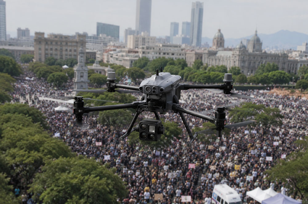
Mass Event Crowds (Seattle Center, July 2026): During the Bite of Seattle food festival at Seattle Center, multiple armed individuals opened fire in a crowded area. Ground officers faced crossfire risks and heavy crowd movement, making suspect identification and rapid tracking difficult. (Source: Wikipedia - 2026 Seattle Center shooting)
High-Security Perimeter Breaches (Pennsylvania Avenue, Washington D.C., May 2026): In a rapid engagement near a White House security checkpoint, suspect Nasire Best drew a weapon and fired on law enforcement. Ground-level responders required immediate, multi-angle perimeter overwatch to rule out secondary shooters and secure surrounding blocks. (Source: CBS News)
Targeted Structural Attacks (San Diego, May 2026): Armed individuals targeted a school and Islamic center campus. Responding SWAT teams faced the dangerous challenge of entering unknown indoor structures where armed suspects could be barricaded.
II. Four Tactical Drone Applications for Police Emergency Response
To directly address these operational bottlenecks, HongKong Global Intelligence delivers customized drone solutions mapped directly to critical active shooter scenarios:
1. Large-Event Security & Aerial AI Surveillance
Scenario: Dense venues, festival plazas, and open-air public spaces. (Wikipedia)
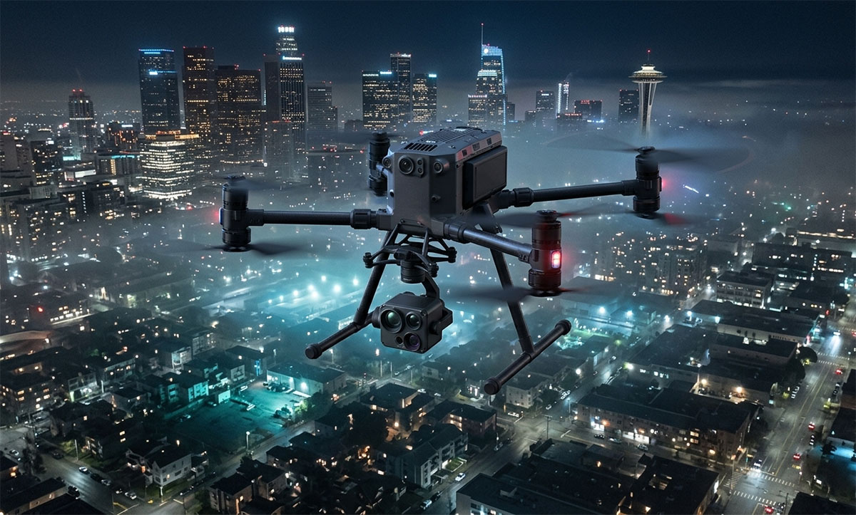
Application: Deployed at high altitudes, our public safety drones, such as ZAi-M400 with Zenmuse H30T, utilize dual Optical/Infrared EO/IR payloads with edge-AI object recognition. When shots are detected, the drone's onboard AI automatically flags abnormal crowd movement patterns, tracks fleeing suspects via automated vehicle/apparel trait recognition, and beams real-time grid coordinates directly to tactical ground units.
2. Drone as First Responder (DFR) for Rapid Perimeter Overwatch
Scenario: Sudden high-risk active shooter reports in urban corridors or restricted zones. (Wikipedia)
Application: Integrated with 911/CAD dispatch systems, automated Drone-in-a-Box (C2) stations launch public safety drones within 15 seconds of an emergency call. Arriving 2 to 4 minutes ahead of ground vehicles, the UAV supplies incident commanders with low-latency 4K video feeds, mapping shooter locations, entry points, and bystander positions before officers arrive.
3. Indoor Reconnaissance & Tactical SWAT Support
Scenario: Barricaded suspects inside schools, places of worship, or residential structures. (Wikipedia)
Application: Deploying our FPV Drone Solutions, SWAT teams can perform remote indoor reconnaissance. Equipped with millimeter-wave radar obstacle avoidance, impact-resistant cages, and low-light sensors, these units clear hallways, locate hostages, and map interior layouts without putting officers in the line of fire.
4. Thermal Overwatch & Low-Light Manhunts
Scenario: Nighttime containment in suburban neighborhoods, wooded areas, or sprawling campuses.
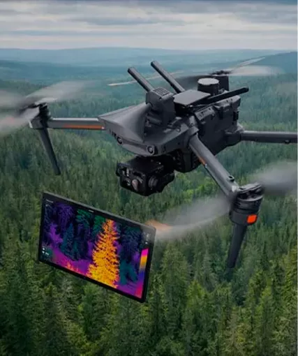
Application: Utilizing Long-Wave Infrared (LWIR) thermal sensors and high-intensity narrow-beam spotlights, our drones slice through darkness, dense foliage, and smoke. Coupled with laser rangefinders (LRF), the system provides precise GPS target coordinates directly to ground teams and tactical air support.
Prevents video interception and ensures stable transmission inside signal-denied zones.
IV. HongKong Global Intelligence: Engineered for Defense & Public Safety
As an international drone manufacturer and system integrator, HongKong Global Intelligence Technology Group Limited provides fully customized drone solutions tailored to police departments, SWAT teams, and emergency management agencies worldwide.
Custom Hardware & Payload Integration: We build tethered power systems for continuous 24/7 aerial overwatch, customized tactical drop payloads, and specialized sensor arrays.
Unified C2 Command Center Software: Our software bridges raw aerial intelligence directly with existing CAD, GIS, and video management systems (VMS), providing a unified operational picture for field commanders.
End-to-End Operational Support: From pilot tactical training to automated nest deployment and regulatory compliance consulting, we deliver turnkey aerial infrastructure.
Equip Your Command with Next-Generation Aerial Intelligence
Share your mission specifications—such as payload capacity, endurance needs, or environmental constraints. Our engineering team will review your data and provide a optimized UAV configuration tailored to your industrial workflow.
HongKong Global Intelligence Technology Group Limited

 English
 français
 Deutsch
 русский
 فارسی
فارسی ไทย
ไทย العربية
 Nederland
 বাঙালি
 Македонија