 English
 français
 Deutsch
 русский
 فارسی
فارسی ไทย
ไทย العربية
 Nederland
 বাঙালি
 Македонија











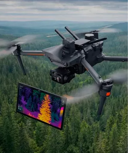
Match the platform with your required sensors, such as high-resolution RGB, multispectral, thermal, or LiDAR cameras.
Determine the necessary flight time and distance to complete large-area mapping or long-corridor inspections in a single mission.
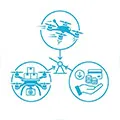
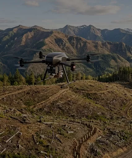
Choose between traditional hand/catapult launch or Hybrid VTOL (Vertical Takeoff and Landing) for tight or rugged terrains.

Ensure seamless integration with your mapping, photogrammetry, or GIS processing workflows.