 English
 français
 Deutsch
 русский
 فارسی
فارسی ไทย
ไทย العربية
 Nederland
 বাঙালি
 Македонија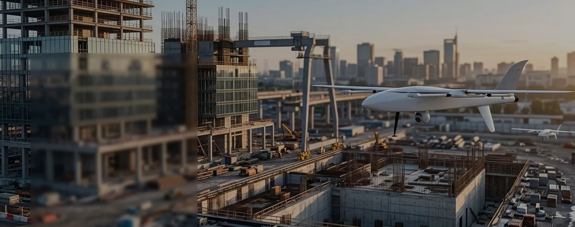
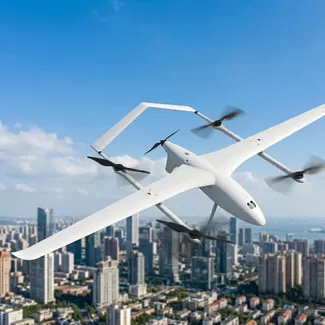
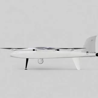
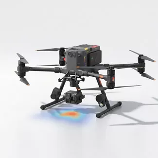








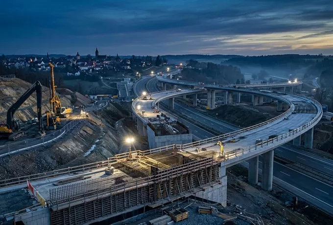

For expansive infrastructure or highway projects, a VTOL fixed-wing platform is non-negotiable; it provides the endurance to map hundreds of acres in one go without the need for a runway.

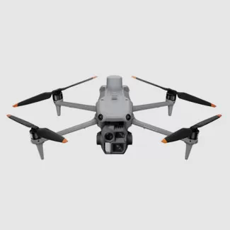
If your site is a dense urban high-rise, prioritize 360-degree obstacle avoidance and high-resolution thermal sensors for detailed facade inspections.

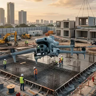
Most importantly, evaluate the software ecosystem—ensure the drone's output is natively compatible with your existing BIM or CAD workflows to allow for seamless "as-built" comparisons.
Ultimately, choose a system that minimizes field time while maximizing data accuracy.