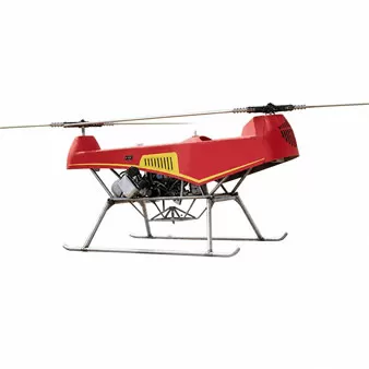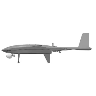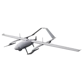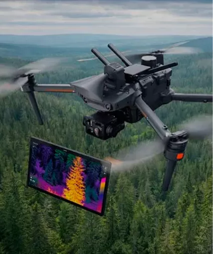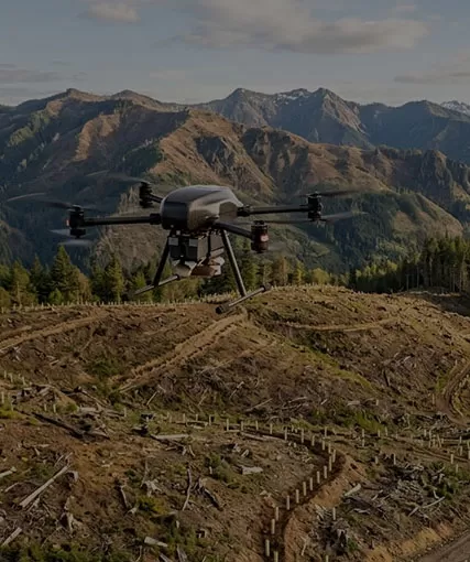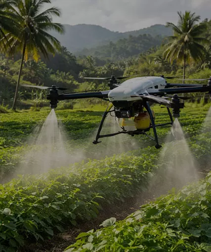
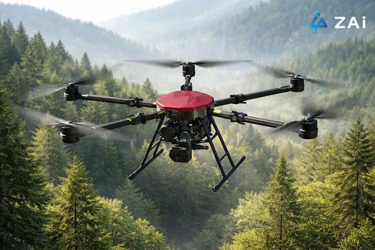
Forestry has always been a demanding industry. Vast areas, complex terrain, unpredictable weather, and the need for long-term ecological balance make forest management both critical and challenging. Today, drones are quietly transforming how forests are protected, monitored, and restored. From early wildfire detection to carbon stock assessment and wildlife protection, drones are no longer experimental tools—they are becoming essential infrastructure for modern forestry operations.
At Hong Kong Global Intelligence Technology Group Limited (ZAi), we work closely with forestry departments, emergency response teams, and environmental organizations to deliver customized industrial drone solutions designed specifically for real-world forestry challenges. Below is a practical look at how drones are being used in forestry today—and why customized solutions matter.
Forest fires are one of the greatest threats to ecosystems, human life, and property. Traditional fire detection methods—watchtowers, patrol teams, or satellite monitoring—often suffer from delayed response times or limited accuracy.
Drones equipped with infrared and thermal imaging cameras can detect abnormal heat sources and smoldering fires before flames become visible. These firefighting drones can:
Penetrate smoke and haze
Identify hidden hotspots under forest canopies
Trigger early warnings during the critical initial stages of a fire
Early detection dramatically reduces response time, helping authorities contain fires before they spread uncontrollably.
Once a fire breaks out, situational awareness becomes the difference between effective suppression and dangerous misjudgment.
Industrial drones provide real-time aerial video and thermal data, allowing command centers to:
Track fire line movement
Analyze wind direction and terrain influence
Identify high-risk zones and escape routes
Prevent firefighters from entering hazardous areas
Unlike helicopters, drones can fly lower, longer, and at a fraction of the operational cost—making them ideal for continuous monitoring during active fire suppression.
In remote forest areas, logistics can quickly become a bottleneck. Heavy-lift cargo drones are now used to deliver:
Medical supplies
Communication devices
Water and emergency equipment
These drones ensure frontline crews receive critical support without delay, even in areas inaccessible by vehicles.
Traditional forest inventory often involves teams physically entering dense forests, a slow and labor-intensive process.
Drones equipped with high-resolution RGB cameras and AI algorithms can automatically:
Count individual trees
Measure canopy width and tree height
Map forest boundaries with centimeter-level accuracy
What once took weeks can now be completed in hours—without disturbing the forest ecosystem.
One of the most powerful advancements in forestry drones is LiDAR (Light Detection and Ranging) technology.
LiDAR drones can penetrate dense canopies and collect vertical forest structure data, enabling:
High-precision 3D forest models
Timber volume estimation
Terrain mapping under thick vegetation
This level of detail is especially valuable for industrial forestry operations, sustainable logging plans, and infrastructure development in forested regions.
As carbon neutrality and climate commitments become global priorities, forests play a central role as carbon sinks.
By combining multispectral imagery, LiDAR data, and AI modeling, drones help estimate:
Forest biomass
Carbon storage capacity
Carbon sequestration changes over time
These insights are essential for carbon credit programs, environmental reporting, and long-term ecological planning.
Forest pests and diseases often spread silently. By the time visible symptoms appear, large areas may already be affected.
Drones equipped with multispectral sensors can detect subtle vegetation stress indicators—such as reduced vegetation indices—that are invisible to the human eye. This allows forestry managers to:
Identify infected trees at an early stage
Precisely locate “epidemic trees.”
Prevent large-scale outbreaks
Early intervention significantly reduces economic loss and ecological damage.
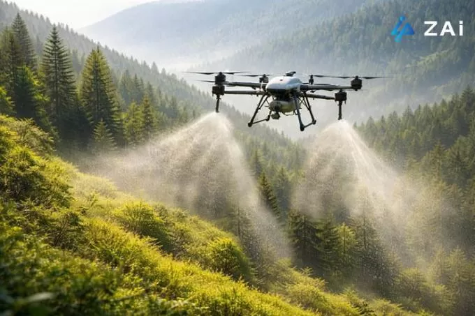
Once affected areas are identified, agricultural spraying drones can carry out targeted treatment.
Compared with manual spraying, drone-based spraying offers:
Area-specific pesticide application
Reduced chemical usage
Minimal environmental disturbance
Efficiency dozens of times higher than manual labor
This precision approach aligns with sustainable forestry and environmental protection goals.
Reforestation is often limited by accessibility. Steep slopes, degraded land, and remote areas make manual planting costly and slow.
Agricultural drones adapted for forestry can carry and disperse seed balls over large areas, enabling:
Rapid afforestation in difficult terrain
Lower labor costs
Scalable restoration projects
While drone seeding does not replace all manual planting, it plays a powerful supporting role in large-scale restoration efforts.
Planting trees is only the first step—ensuring they survive is just as important.
By conducting periodic drone flights, forestry teams can:
Monitor seedling survival rates
Identify gaps in newly planted areas
Quickly organize replanting where needed
This data-driven approach significantly improves long-term reforestation success.
| Aspect | Traditional Manual / Satellite Methods | Drone-Based Forestry Solutions |
|---|---|---|
| Efficiency | Days or weeks, terrain-limited | Hours to cover thousands of acres |
| Accuracy | Satellite data affected by clouds | Centimeter-level precision |
| Safety | High risk in complex terrain | Remote operation, reduced human risk |
Drones bridge the gap between ground surveys and satellite data, offering unmatched flexibility and precision.
Forestry operations vary widely by region, terrain, climate, and objective. There is no one-size-fits-all drone.
At Hong Kong Global Intelligence Technology Group Limited, we specialize in professional customized drone solutions, including:
Industrial drones for forest monitoring
Firefighting drones with thermal payloads
LiDAR mapping drones
Agricultural spraying drones adapted for forestry
Thermal drones for wildlife protection
Heavy-lift drones for emergency logistics
Our team works closely with clients to select the right airframe, payload, software, and operational configuration—ensuring each solution fits real operational needs, not just specifications on paper.
As AI, sensor technology, and autonomous flight systems continue to evolve, drones will play an even larger role in sustainable forest management. Future developments will include:
Fully automated forest patrol routes
Real-time AI-driven risk prediction
Integrated drone-satellite-ground data platforms
Forestry is no longer just about managing trees—it's about managing data, ecosystems, and long-term resilience. Drones are at the center of this transformation.
If you are looking to modernize forest protection, monitoring, or restoration efforts, Hong Kong Global Intelligence Technology Group Limited (ZAi) offers the expertise, technology, and customization capabilities to support your goals.
Visit https://www.industrial-gradedrone.com/to explore how our industrial-grade and customized drone solutions can elevate your forestry operations—efficiently, safely, and sustainably.