


ROOM A1, 11/F WINNER BUILDING, 36 MAN YUE STREET, HUNG HOM, KOWLOON, HONG KONG
Tel:
0086-13828734698
E-mail:
elaine@industrial-gradedrone.com
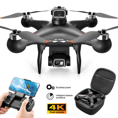
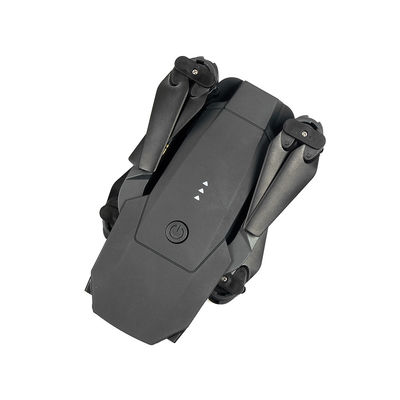
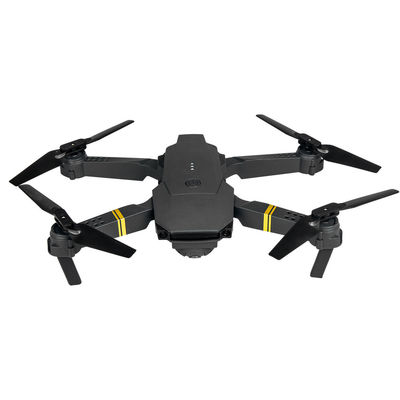
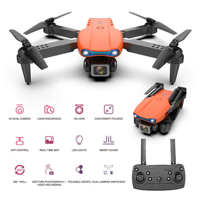
HongKong Global Intelligence Technology Group has rich industry experience and professional technical strength in the field of drone manufacturing. It has passed ISO9001, BSCI certification, and has obtained multiple patents and certifications. The company adheres to "market demand as the guide, customer satisfaction as the purpose, win-win cooperation as the basis, quality service as the guarantee, and social responsibility as the belief" and has established stable cooperative relationships with more than 170 countries around the world to help them achieve business Target.
Privacy Policy |
sitemap |
China Good
Quality Industrial Drones Supplier. Copyright © 2023-2026 industrial-gradedrone.com . All
Rights Reserved.